Middle East Pictures, Images and Stock Photos
Browse 136,100+ middle east stock photos and images available, or search for middle east map or dubai to find more great stock photos and pictures.
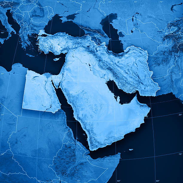
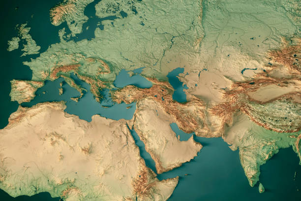
middle east map
dubai
middle east city
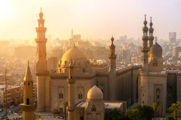
egypt
middle eastern culture
turkey
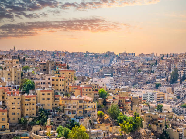
jordan
middle east business
middle east family
middle east people
middle east woman
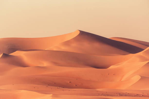
middle east desert
middle east man
middle east oil
map of middle east
middle east pattern
middle east landscape
middle east technology
middle east globe
middle east skyline
middle east map vector
middle east war
middle east food
middle east business people
middle east conflict
middle east market
middle east culture
middle east doctor
middle east office
middle east business man
Most popular
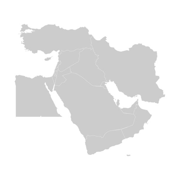
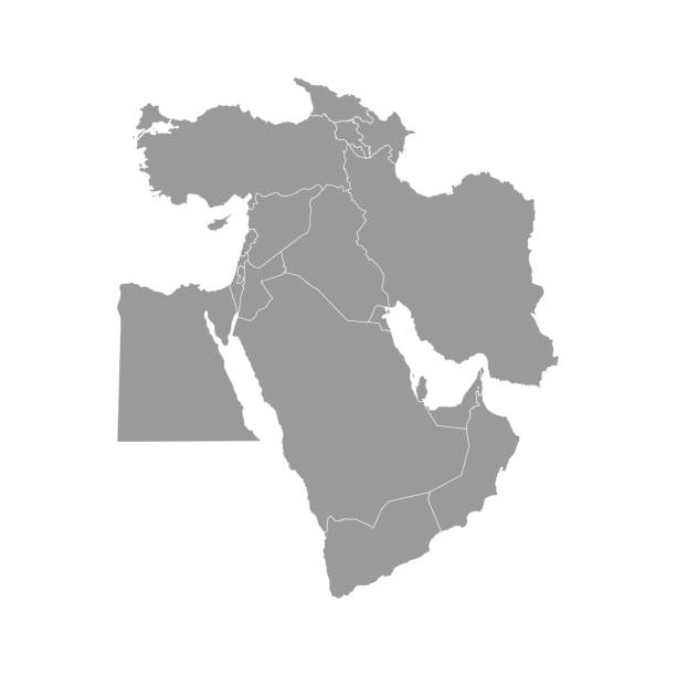
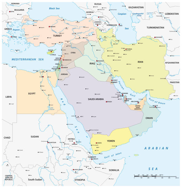
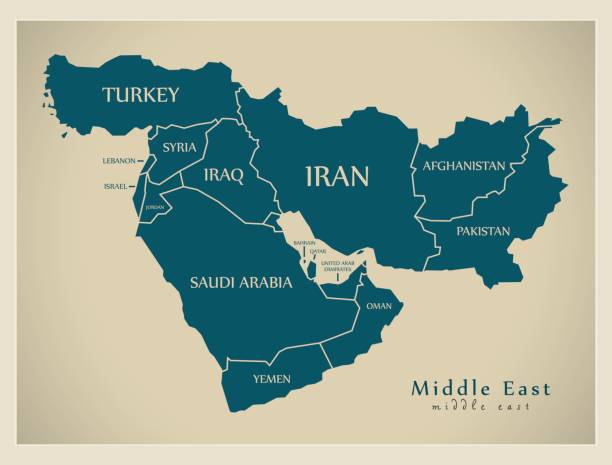
Map of Middle East with countries and borders. Vector illustration.
Map of Middle East. Vector
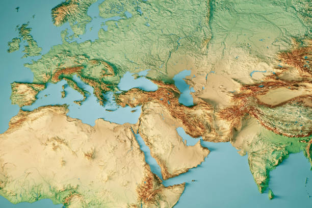
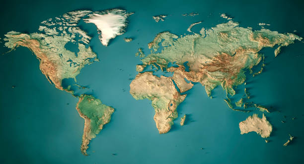
3D Render of a Topographic Map of Europe, India and Middle East. All source data is in the public domain. Color and Water texture: Made with Natural Earth. http://www.naturalearthdata.com/downloads/10m-raster-data/10m-cross-blend-hypso/ http://www.naturalearthdata.com/downloads/110m-physical-vectors/ Relief texture: GMTED 2010 data courtesy of USGS. URL of source image: https://topotools.cr.usgs.gov/gmted_viewer/viewer.htm
A close-up/macro photograph of Middle East from a desktop globe. Adobe RGB color profile.
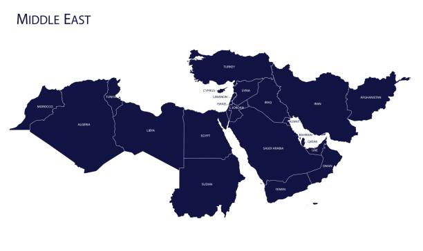
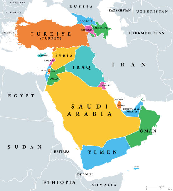
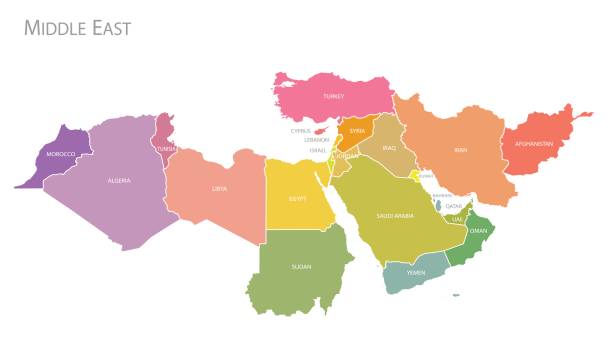
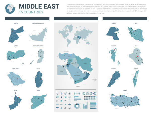
Vector illustration with simplified map of Asian countries. Middle East. States borders of Turkey, Georgia, Armenia, United Arab Emirates, Saudi Arabia, Qatar, Oman, Iran, Israel. Grey silhouette
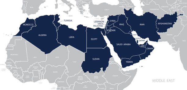
Western Asia, geoscheme and political map. Subregion of Asia, used for statistical purposes, covering geographical regions spanning from Anatolia, Caucasus, Levant, Mesopotamia till Arabian Peninsula.
Map of Middle East. Member states are as follows;
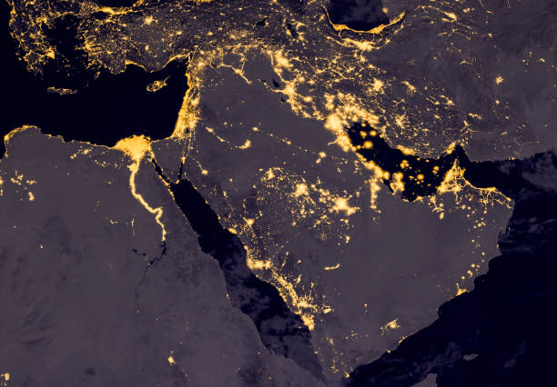
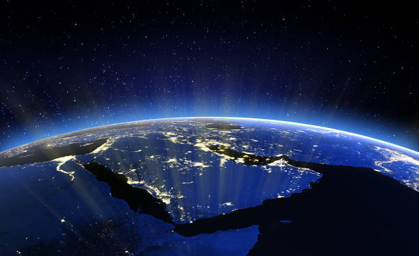
Middle east, west asia, east europe lights during night as it looks like from space. Elements of this image are furnished by NASA
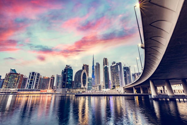
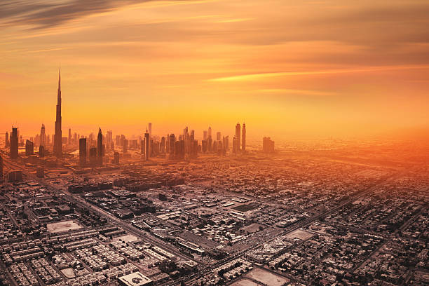
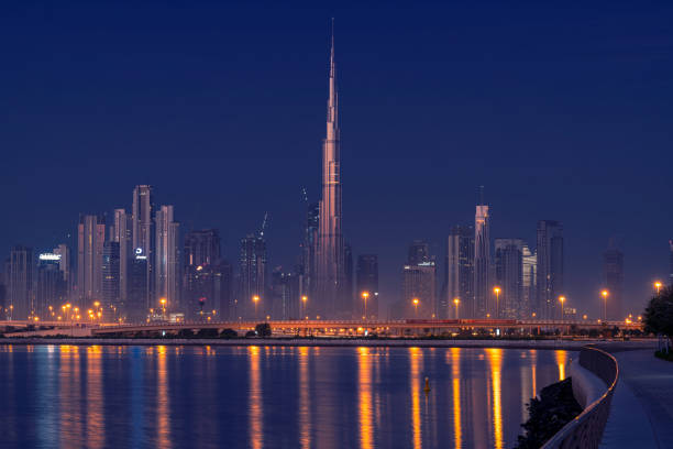
Skyscrapers highrise skyline of Dubai UAE downtown with Burj Khalifa at sunset

vector map of europe countries map and middle east countries map
Mini Globe showing the Middle East.
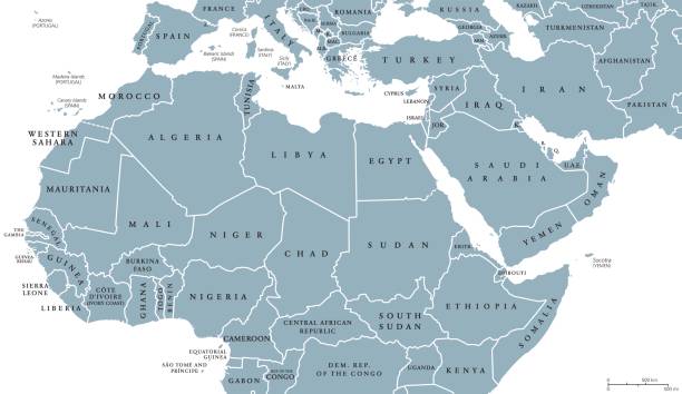
North Africa and Middle East political map with countries and borders. English labeling. Maghreb, Mediterranean, West and Central Asian countries. Gray illustration on white background. Vector.
Aerial view of downtown Dubai in United Arab Emirates. Foggy sand storm day over the tall skyscrapers and office buildings on Sheikh Zayed Road.

Sand dunes of Dubai, silhouette of Dubai skyline at sunset. Beautiful travel image.
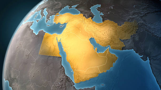
Map of Middle East on a Earth globe, looking west to Europe. Turkey, Syria, Lebanon, Israel, Jordan, Egypt, Saudi Arabia, Yemen, Oman, Qatar, United Arab Emirates, Kuwait, Iraq, Iran and Afghanistan are the main focus. Countries are highlighted in yellow, while seas are deep blue and land are brown gray. Europe and North Africa are also included in the frame, together with Mediterranean Sea and Persian Gulf. Physical and geographical features are visible. Geopolitics and diplomacy connected to history and geography. Map is blank, without country names. For illustration puroposes only, country grouping and current borders status may differ.
Map of Middle East, or Near East, in shades of turquoise blue. Simple flat vector ilustration.
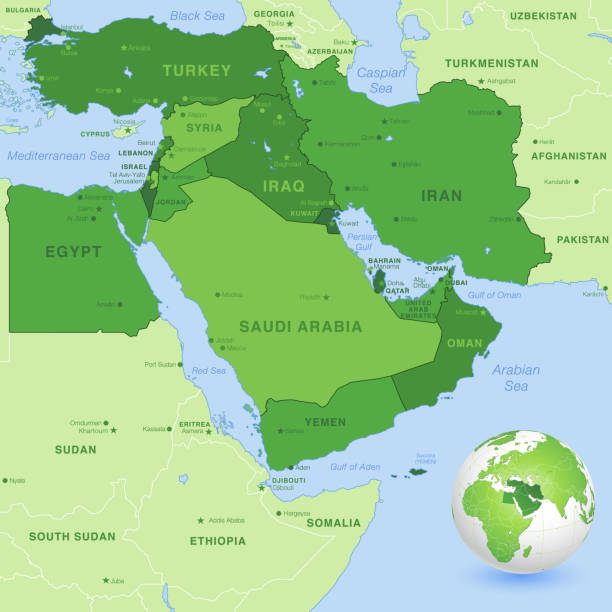
High detail map of the Middle East Zone, with a 3D Globe centered on Middle East.

Burj Khalifa in Dubai UAE downtown business skyscrapers highrise architecture at sunset

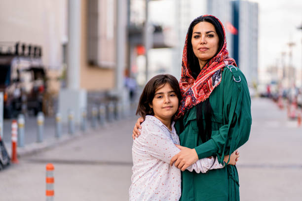
Waist-up view of Middle Eastern woman in traditional black abaya and hijab sitting at meeting table with development team and working out plans.

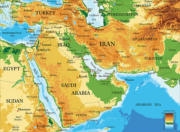
Highly detailed physical map of Middle East in vector format,with all countries, major cities and all the relief forms .
Map of Middle East. Vector

https://visibleearth.nasa.gov/images/79765/night-lights-2012-map/79775l
Middle East. 3D Rendering. Stars my own photo. Elements of this image furnished by NASA
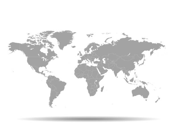
vector of the World map

Full length view of six young male and female associates in traditional and western attire sharing objectives and goals.

A photo of serious Arab businessman communicating in a meeting. Emirati man is wearing traditional thobe. Middle Eastern professional is discussing while sitting with colleagues, Coworkers are listening to him, in brightly lit office.
Empty Quarter Desert Dunes. A sea of sand in the Rub' al Khali Desert under atmospheric sunset light. Empty Quarter Desert Dunes near the border of Saudi Arabia and the United Arab Emirates. Emirate of Abu Dhabi, United Arab Emirates, Middle East
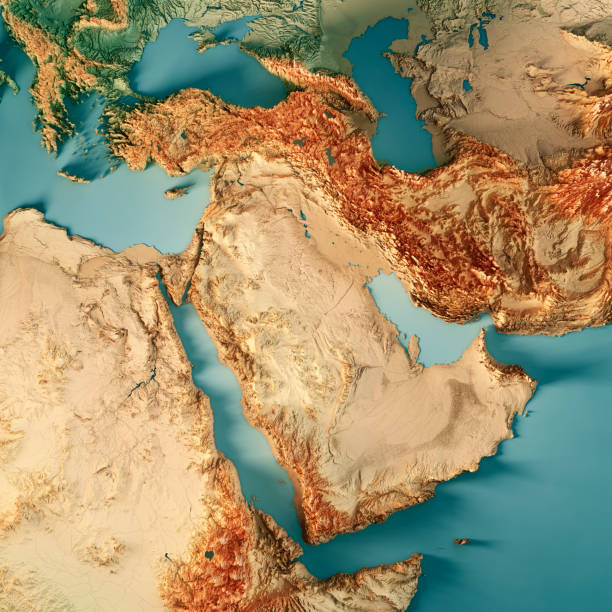
3D Render of a Topographic Map of Middle East. All source data is in the public domain. Color texture: Made with Natural Earth. http://www.naturalearthdata.com/downloads/10m-raster-data/10m-cross-blend-hypso/ Relief texture: GMTED2010 data courtesy of USGS. URL of source image: https://topotools.cr.usgs.gov/gmted_viewer/viewer.htm Water texture: World Water Body Limits: Humanitarian Information Unit HIU, U.S. Department of State http://geonode.state.gov/layers/geonode%3AWorld_water_body_limits_polygons Boundaries: Humanitarian Information Unit HIU, U.S. Department of State (database: LSIB) http://geonode.state.gov/layers/geonode%3ALSIB_10
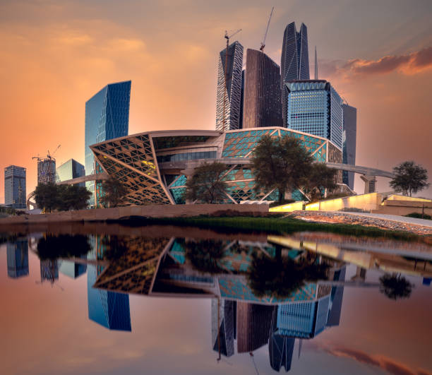
King Abdullah Financial District “KAFD” (KAFD) is located in the city of Riyadh, and it is one of its largest existing projects, and the only one of its kind in the Middle East where this file will be working with an average of 1.6 million translators, financial market, financial banks, financial banks, banks Financial offices, in addition to other service institutions such as accountants, legal professionals, lawyers, analysts, financial advisors, rating offices, and service providers. The King Abdullah Financial District lays an appropriate foundation for the aspirations of future generations, and after witnessing the leading role of the Kingdom of Saudi Arabia, as the owner of the economy and the largest financial center in the region, as it will include, King Abdullah Financial District lays higher than mosques, equipped in a way that provides residents and visitors with an atmosphere of comfort and ease. For renting literature, the financial academy that will be established in the King Abdullah Financial District will be a leading educational institution with financial specializations and will provide training courses for workers in finance or those wishing to work in the future in the future.
"3D render and image composing: Topographic Map of the Middle East region. Including borders, rivers and accurate longitude/latitude lines. High resolution available! High quality relief structure!Relief texture and satellite images courtesy of NASA. Further data source courtesy of CIA World Data Bank II database.Related images:"
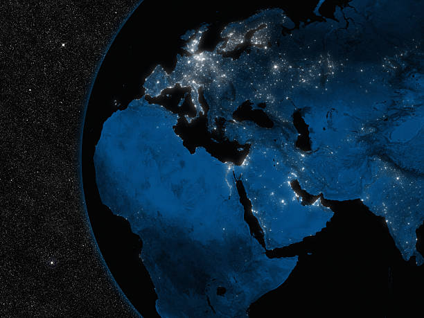
Night in Europe, Middle East and Africa region with city lights viewed from space. Elements of this image furnished by NASA.
3D Render of a Topographic Map of Europe, India and Middle East. All source data is in the public domain. Color and Water texture: Made with Natural Earth. http://www.naturalearthdata.com/downloads/10m-raster-data/10m-cross-blend-hypso/ http://www.naturalearthdata.com/downloads/110m-physical-vectors/ Relief texture: GMTED 2010 data courtesy of USGS. URL of source image: https://topotools.cr.usgs.gov/gmted_viewer/viewer.htm
3D Render of a Topographic Map of the World in Miller Projection. All source data is in the public domain. Color and Water texture: Made with Natural Earth. http://www.naturalearthdata.com/downloads/10m-raster-data/10m-cross-blend-hypso/ http://www.naturalearthdata.com/downloads/110m-physical-vectors/ Relief texture: GMTED 2010 data courtesy of USGS. URL of source image: https://topotools.cr.usgs.gov/gmted_viewer/viewer.htm

Planet Earth viewed from space with city lights. Technology, global communication, world connections. Satellite view. Elements from NASA. (https://visibleearth.nasa.gov/view.php?id=57752)
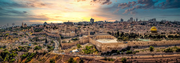
Overlooking Jerusalem from the Mount of Olives
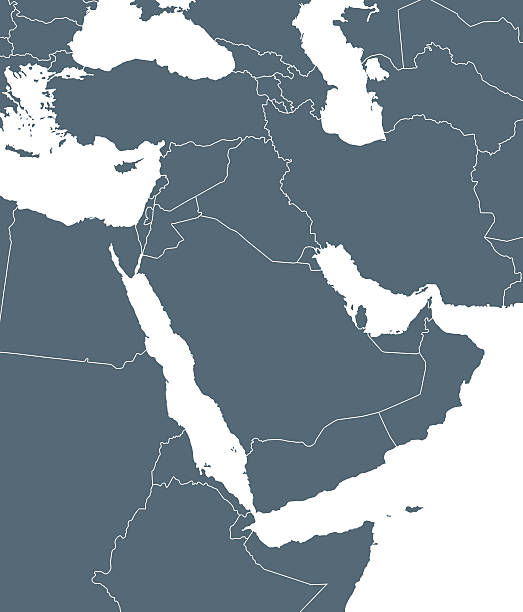
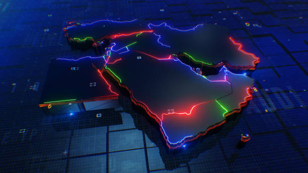
Empty Dark Gray Map of Middle East Asia - illustration

Head shot of beautiful woman student, teacher or blogger. Portrait of smiling millennial beautiful nice middle eastern woman in hijab look at webcam, make video call outdoor, close up, free space
Panoramic view of the Dubai skyline with Burj khalifa and other sky scrapers from Al Jadaf Waterfront Dubai

A photo of smiling Emirati businesswoman with laptop. Middle Eastern professional in traditional arab attire of abaya and hijab. She is sitting at conference table. Office worker is looking away while working in brightly lit office.Dubai, United Arab Emirates.

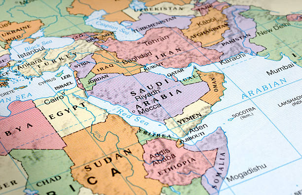
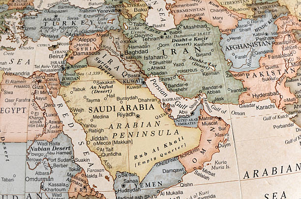
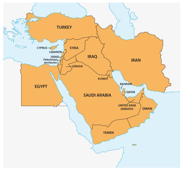
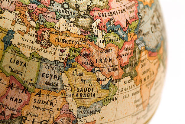
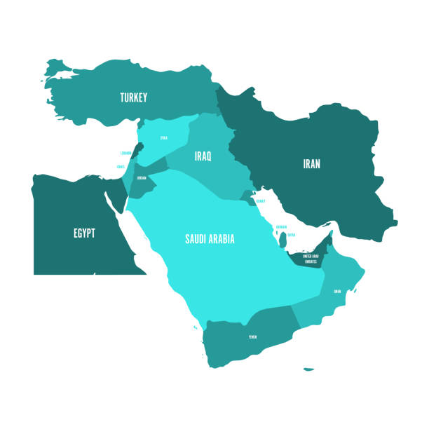
Map of the Middle East

Arabic and Middle Eastern dinner table. Hummus, tabbouleh salad, Fattoush salad, pita, meat kebab, falafel, baklava, pomegranate. Set of Arabian dishes.Top view, flat lay.
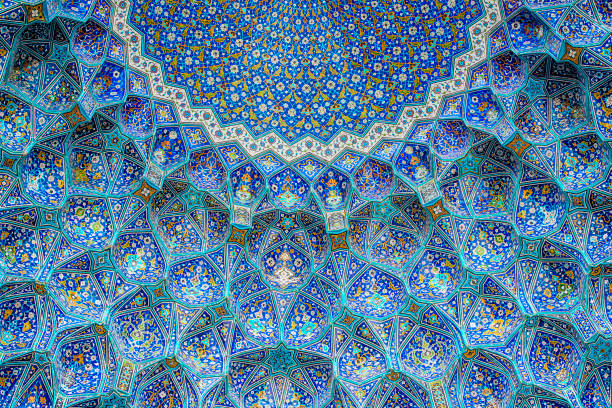
Ceiling and wall tilework at the Shah Mosque on Imam Square, Isfahan, Iran. The mosque is also known as Imam Mosque and Jaame' Abbasi Mosque. It is one of the masterpieces of Iranian/Persian Architecture and an excellent example of Islamic era architecture of Iran and also one of the top sights of the contry.

Front view of young Middle Eastern women in traditional abayas and headscarves walking together and smiling as they look at content on portable device.

Middle Eastern businessmen talking in the street about business, one is wearing the typical dishdasha and the other a suit.
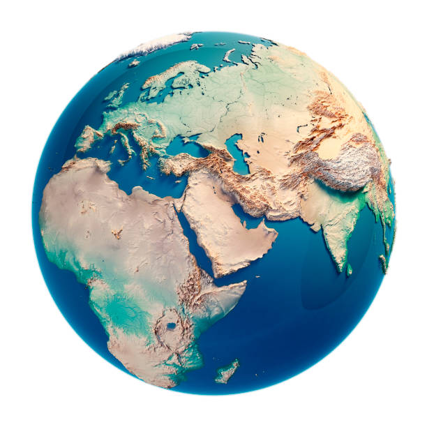
Middle East 3D Render of the Planet Earth. Made with Natural Earth. URL of source data: http://www.naturalearthdata.com

Two Middle Eastern businessman and business woman with traditional and suit clothes shaking hands on an agreement outside.

Waist-up view of casually dressed woman with curly brown hair looking at smart phone and smiling while visiting historic Al-Balad, Jeddah.

A photo of multi-ethnic Arab, Caucasian and Middle Eastern business people discussing at conference table in modern office. Professionals are with laptop. Some are in formals and others are wearing traditional attire. Dubai, United Arab Emirates.
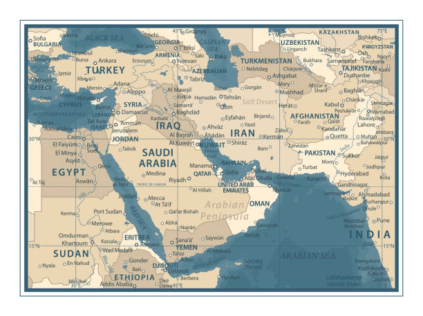
Middle East Map - Vintage Detailed Vector Illustration
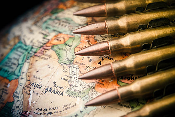
Map of the Middle East with Saudi Arabia in focus with bullets draped across